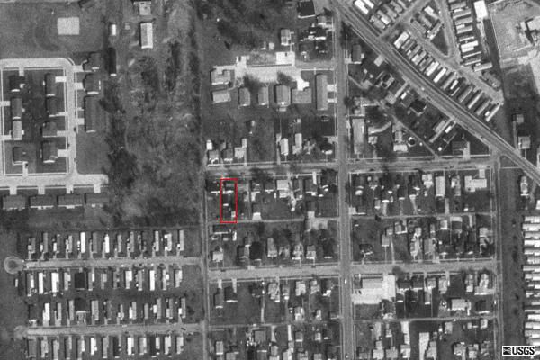
I was curious one day and wanted to see an aerial
view of my home. I found this free website and it took me
right to my house. If you zoom in you can see me in the back yard
waving at the camera (just kidding). The picture link above shows the
highest resolution, but just imagine what the CIA can view from above. I
would guess they could read my car license plates.
Quote from the website http://terraserver.microsoft.com/default.aspx
TerraServer contains 3.3 tera-bytes of high resolution USGS aerial imagery
and USGS topographic maps. You can locate imagery by clicking on the map
above, entering a city or town name in the "Search TerraServer" form at
the top of the page, or entering a U.S. street
address. |
